Coyote Buttes North und South and White Pocket are known all over the world. But there are a lot more of interesting spots in the Vermilion Cliff NM. One of this locations we visited this year is Hole-In-The-Rock, an arch, not far away from White Pocket. Besides this is the connecting trail from the White Pocket region to Hole-In-The-Rock also part of the secret third connection possibility to White Pocket. But in reality this trail connection is not really secret, because it is the main east-west route on the Paria Plateau, which comes from Pine Tree road and which leads to Hole-In-The-Rock. As far as we heard from insiders of the Paria Plateau, is this trail and the one, described by Steffen Synnatschke, the better connection to White Pocket, than the one, going through Coral Valley. But as usual, everything depends from the vehicle, someone is using, the driving capabilites of the driver and the weather and trail conditions.
The BLM suggested route through Coral Valley or via. Paw Hole is today, because of the extensive usage, not really in good condition. Friends of us, which are discovering the Paria Plateau since more than 15 years, always wonder about, that everybody is using the trail, which connects also to the Sand Hills Ranch.
This year we were very early on the Paria Plateau, so that we faced problems in some regions with a lot of snow on the trails (see: Bonal Springs). This also did not allow us to go on the above mentioned connection trail to Hole-In-The-Rock from Pine Tree Road. Instead of this, we used the official route through Coral Valley and on the way back, we went down via Paw Hole.
We started early in the morning on House-Rock-Valley-Road, which was in bad condition.
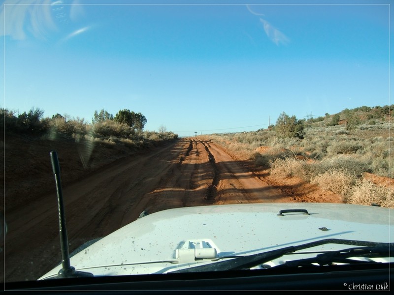
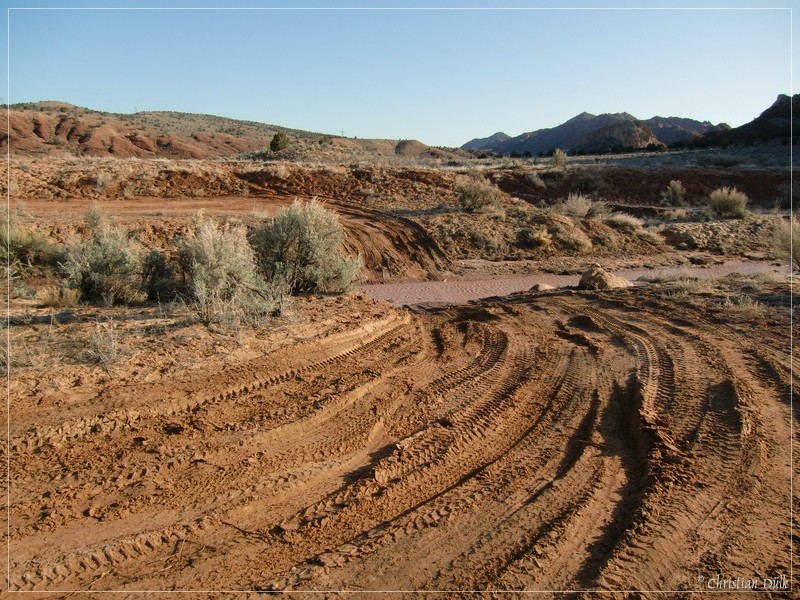
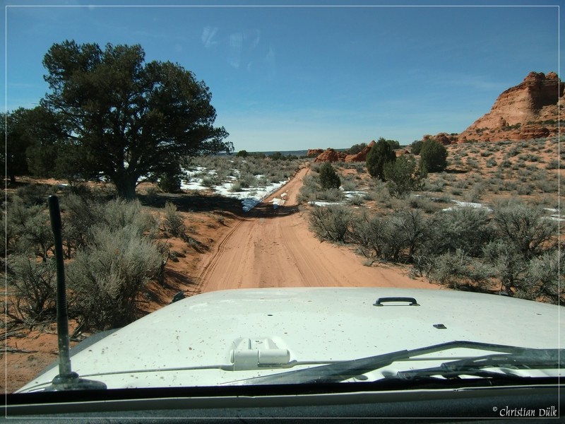
At 12S40530X 407987X (UTM/NAD27) we are turning left on a trail into Coral Valley towards Poverty Flat. As you can see on the pictures, the sand was really compact due to the snow and recently happend rain falls. This made the sandy parts of the trail quite easy.
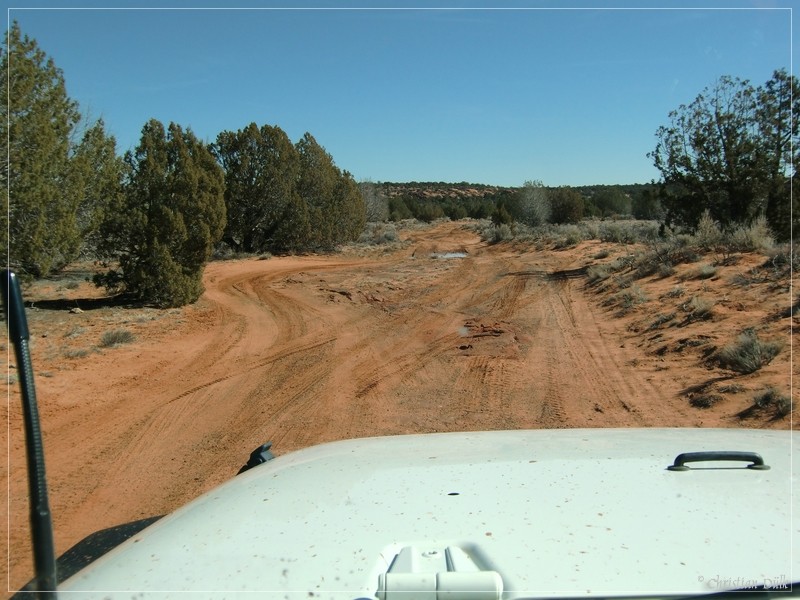
No problem on the following trail passages.
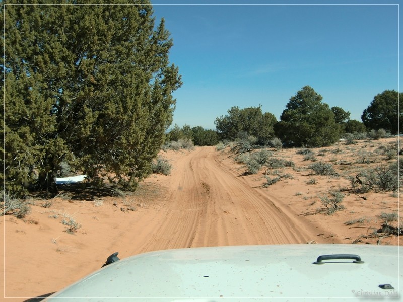
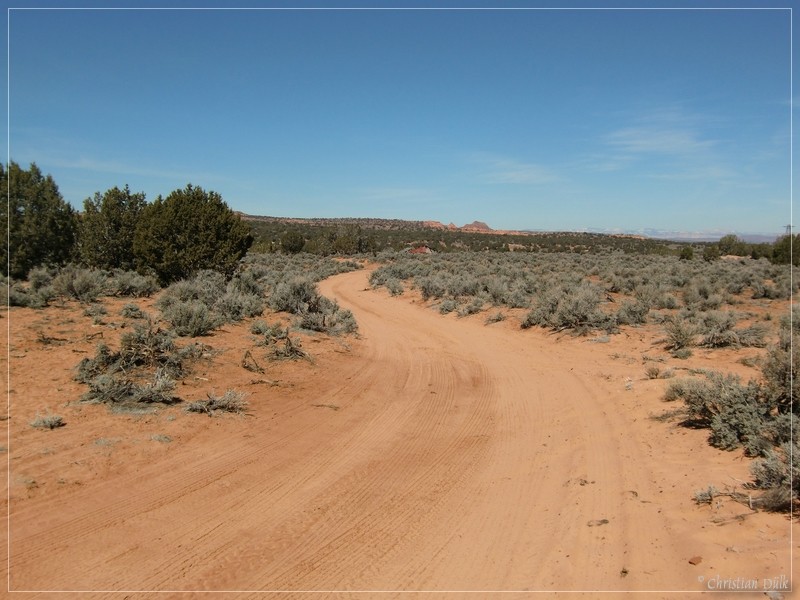
After passing Sand HIlls Ranch the sand got deeper.
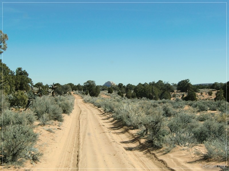
At 12S41594X 408877X we are getting to a turn off to Sand Hills Loop (in the background of the picture), which was newly signed from the BLM. This trail also passes Steamboat Rock.
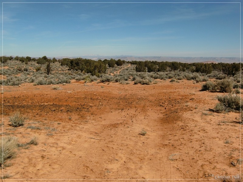
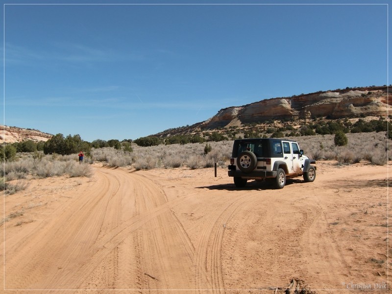
From here we are going up on the Sand Hills. Soon we are reaching the turnoff to the second alternative route, which also comes up from Pine Tree Road and which is described by Steffen Synnatschke. Here we are turning left towards White Pocket. If you see the following formation, then you have reached the right turn to Hole-In-The-Rock soon.
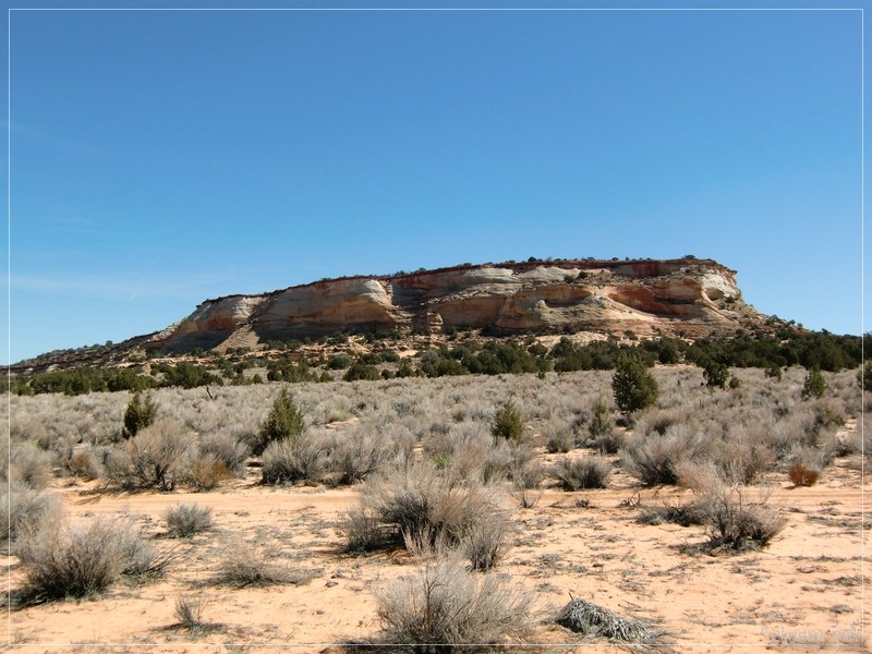
At 12S42044X 408925X we are choosing the trail, which goes to the right. If one continues straight, he will soon arrive at White Pocket.
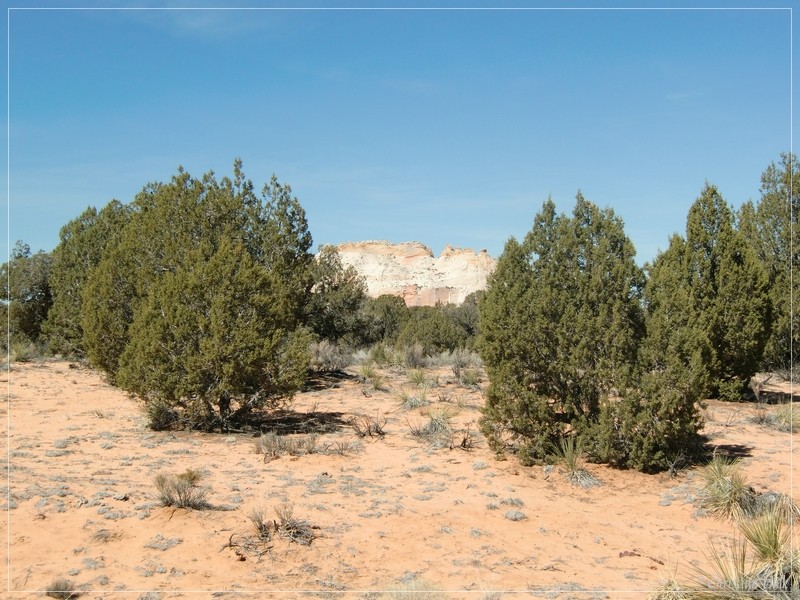
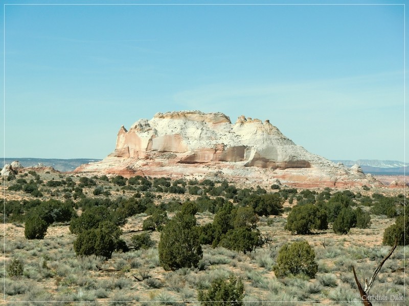
Here you can see White Pocket between the trees.
We are following our trail to the right and along the sandy spur trail, we see a lot of different formations.
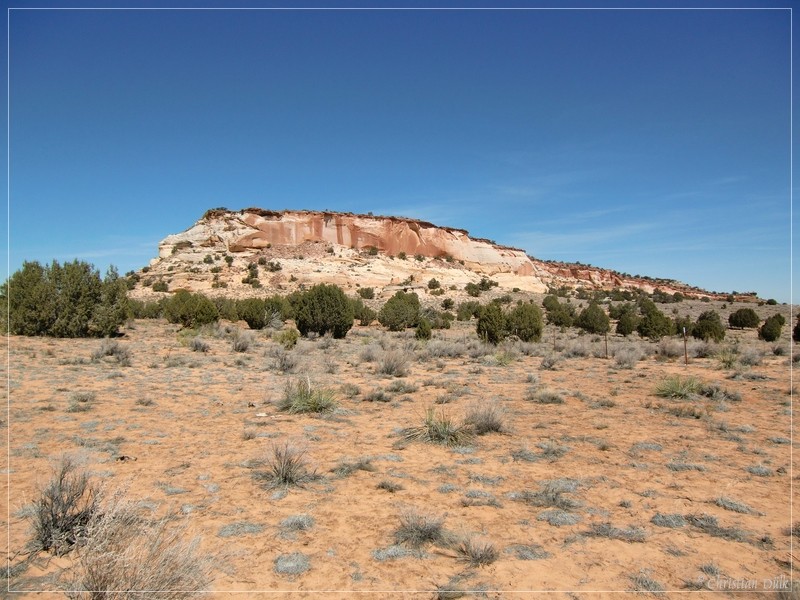
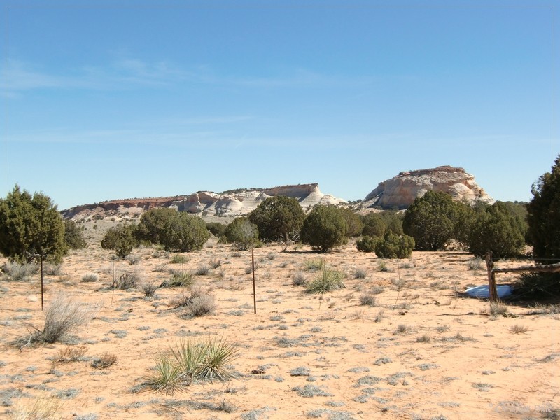
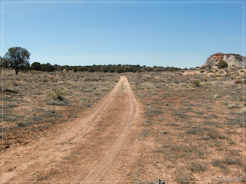
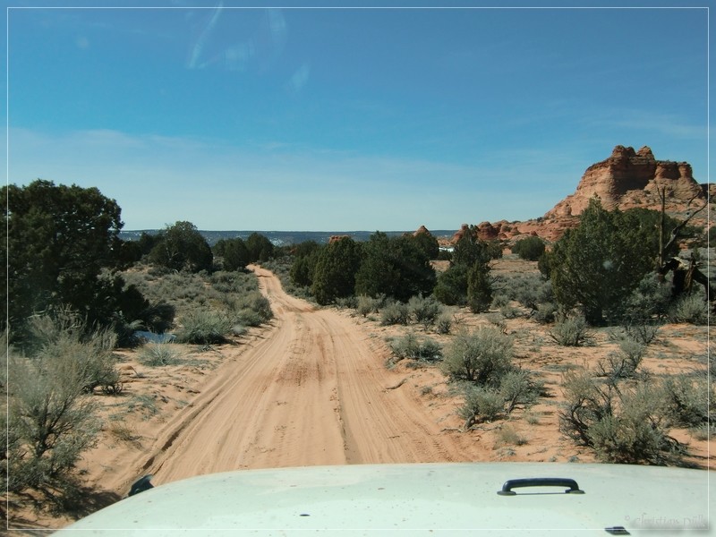
The following pictures show the trail itself.
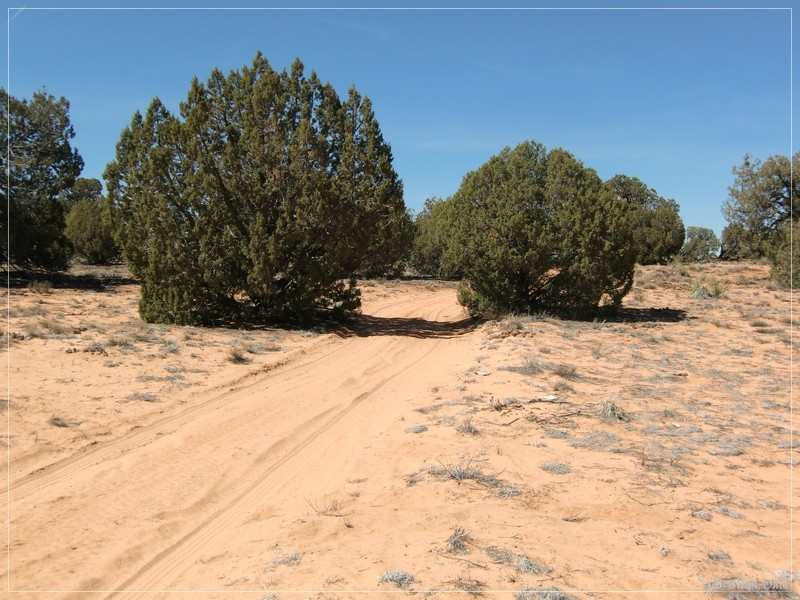
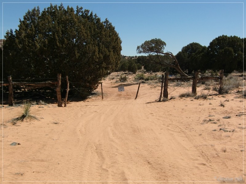
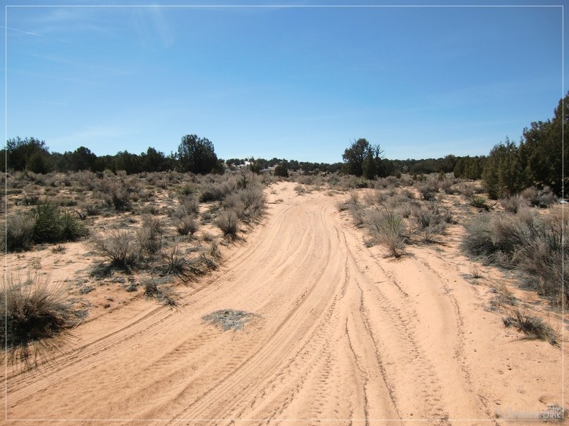
Soon we are at the turnoff to Frank´s reservoir. (left spur). We are following the route straight ahead. In this region is also a dim trail to the right (westerly direction). This one, we were told, is an extremly difficult spur trail.
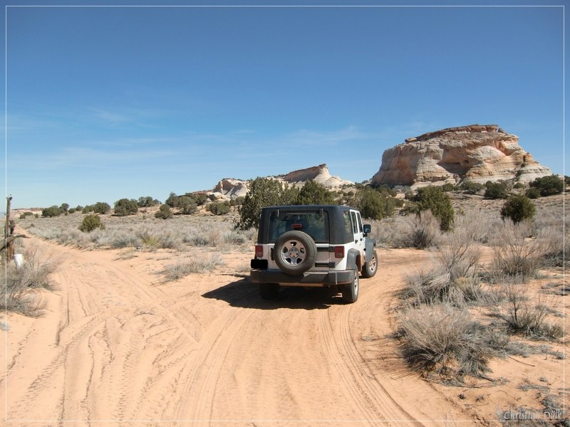
Here you can see also a lot of different things.
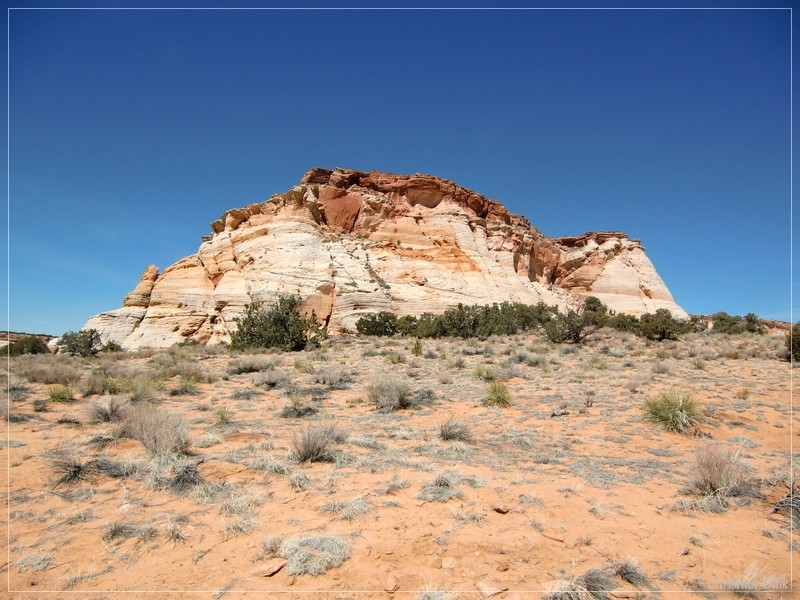
Our trail itself is easy going in this region.
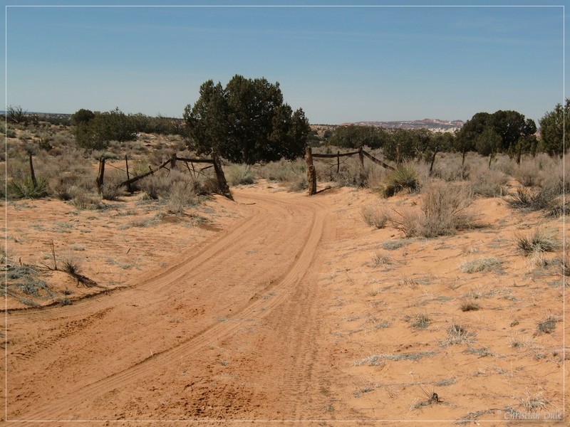
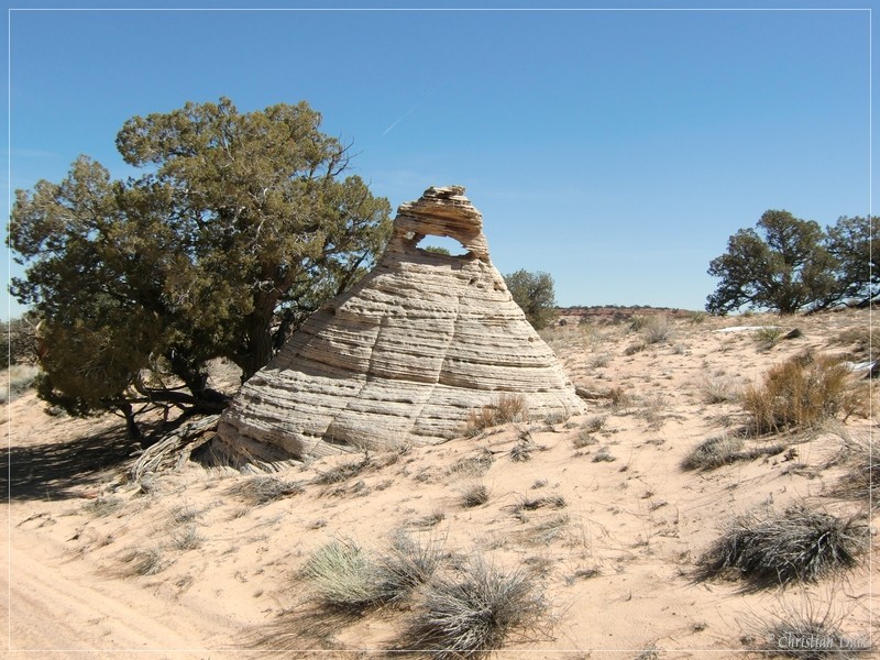
On the way, we also saw a Baby-Hole-In-The-Rock.
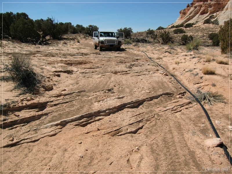
Sand mixes with some short rocky parts.
After this, we are again crossing some kind of prairie land.
After a last sandy downhill drive we are seeing Hole-In-The-Rock.
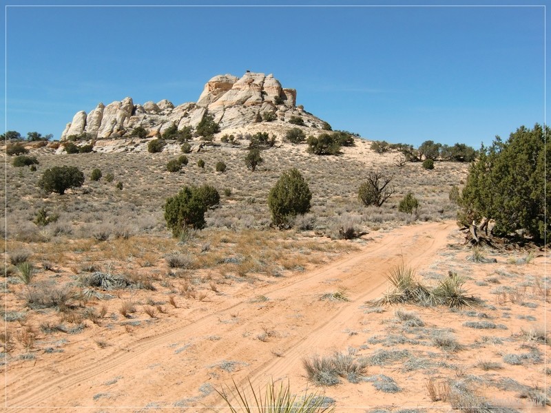
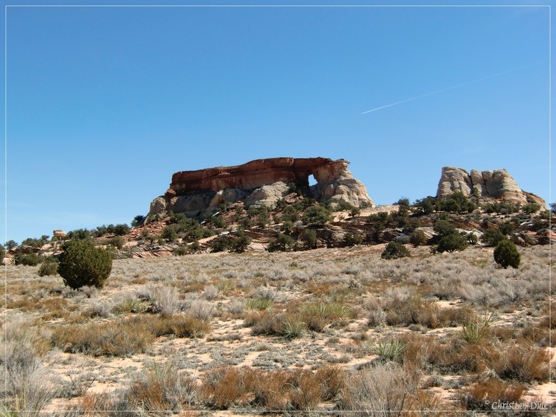
The trail leads directly to this wonderful formation.
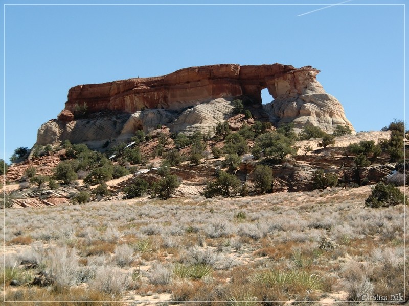
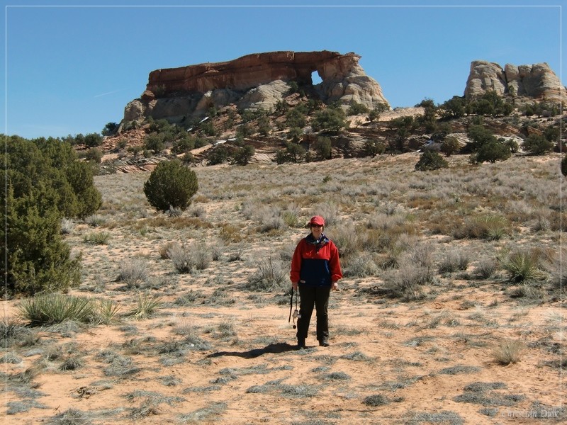
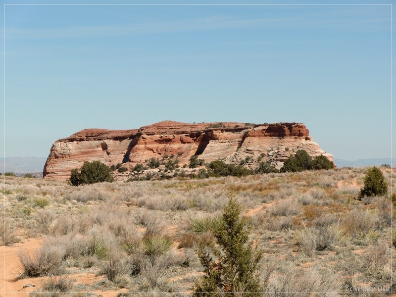
It is also possible to hike up the hole, to see, what is on the other side of Hole-In-The-Rock. The following picture shows the ongoing trail. This trail leads to the west towards Big Sink Valley and this is the third alternative to come to White Pocket.
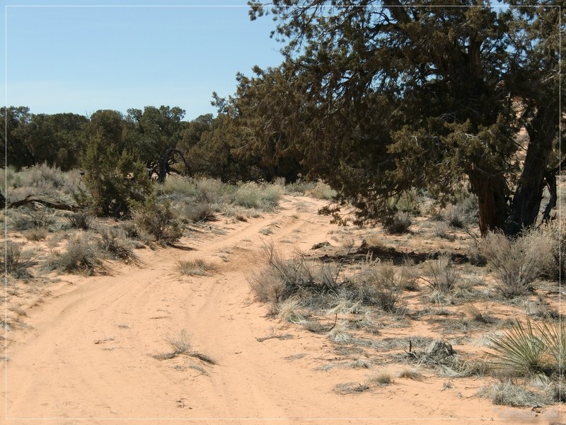
On our way back, we have taken a few more pictures of the trail and the surrounding.
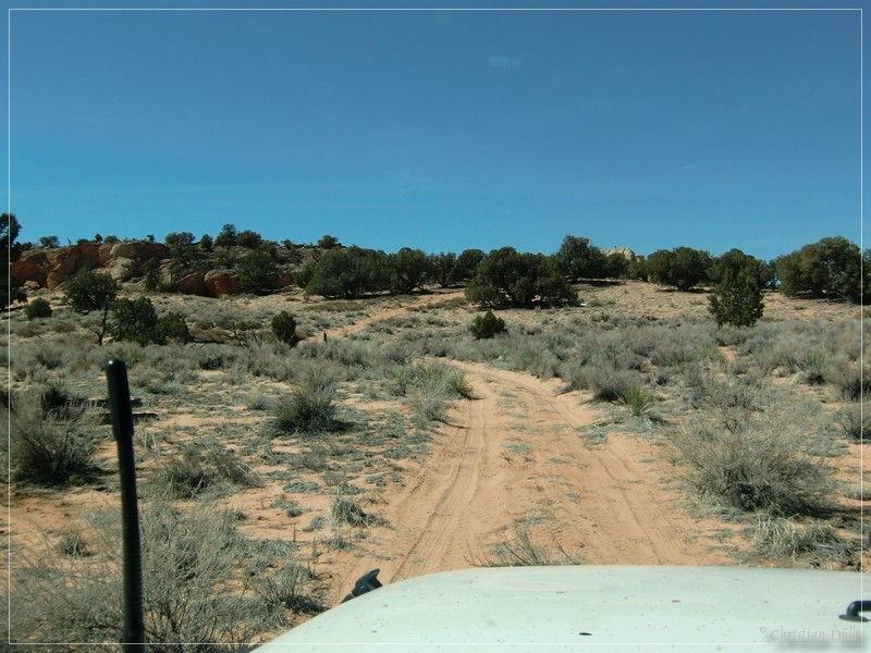
White Pocket, as you can see it, when coming from Hole-In-The-Rock.
Here a picture from climb up to Sand Hills:
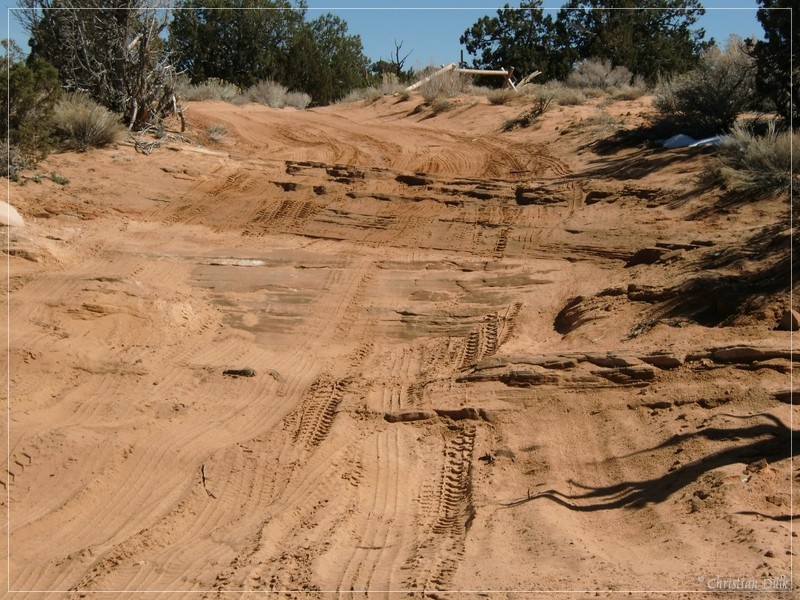
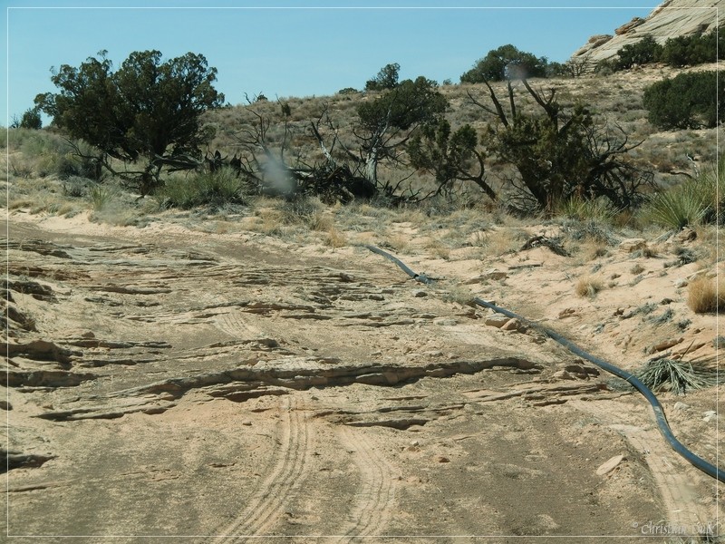
And the way to Paw Hole:
Here the famous stony ledge at Paw Hole:
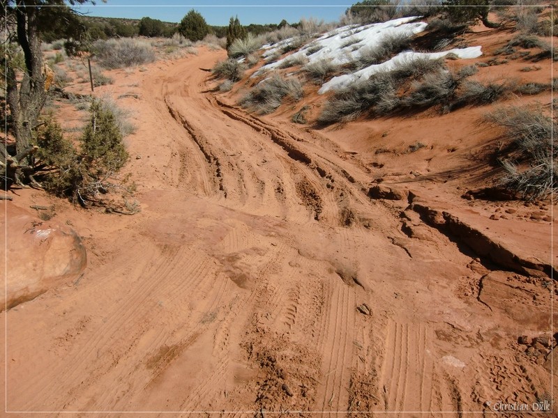
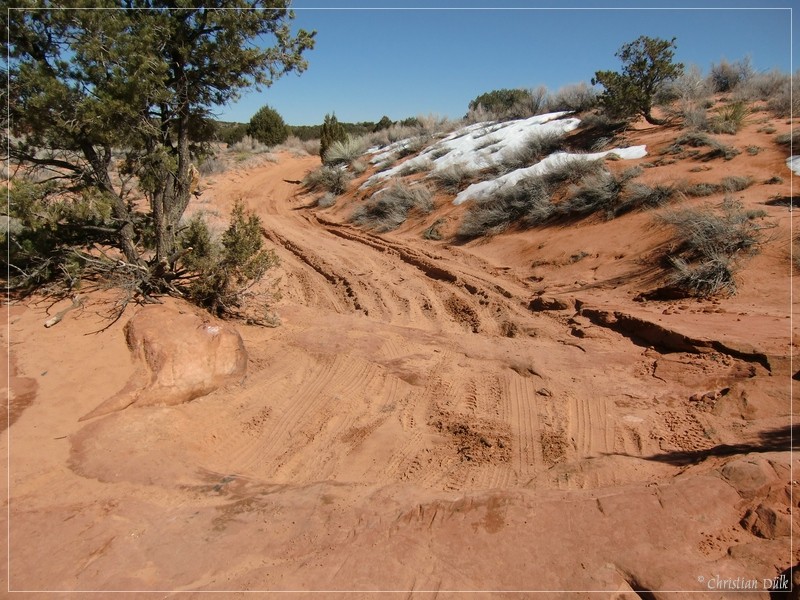
And the deepness of the sand, when going down from Paw Hole:
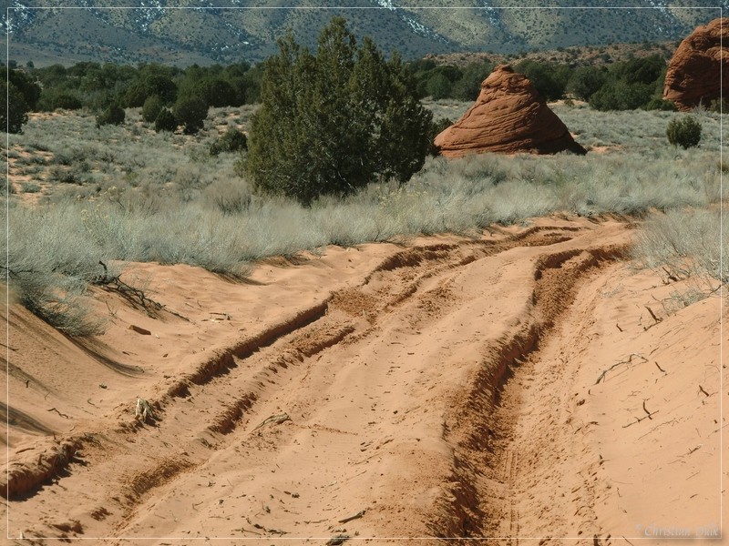
This trail is a nice addon for people, who have enough time left, when visiting White Pocket. When we were on the trail, it was mainly easy, but this could change very fast.
Here you are able to download a gpx file of our trip:
Tracklog: Hole-In-The-Rock, Vermilion Cliffs NM (460 downloads)
The map gives an overview over the visited region:
