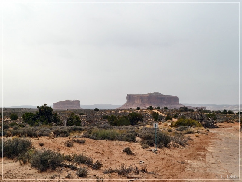
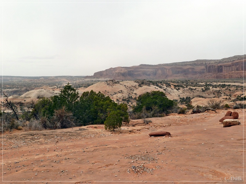
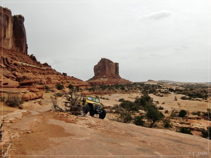
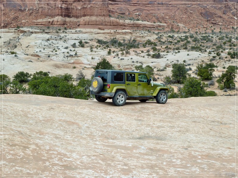
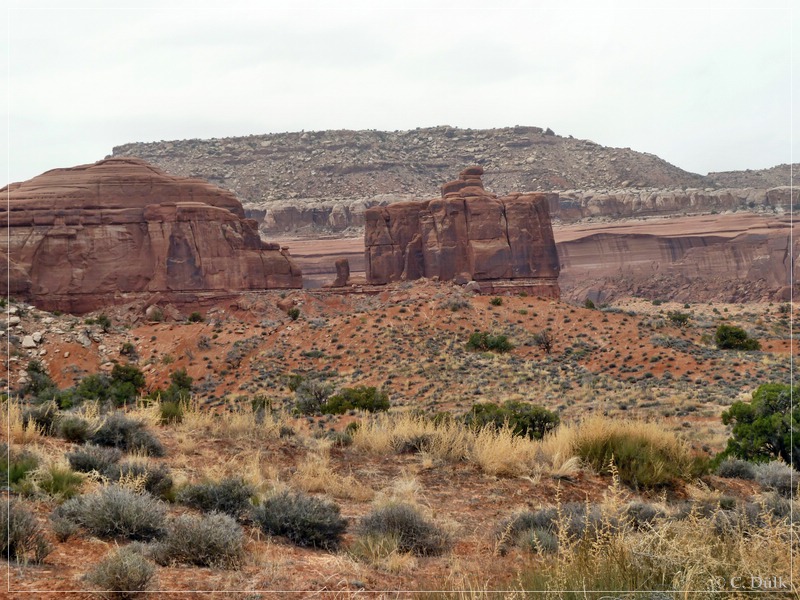
Our plan for that day was to run Devils Racetrack in the San Rafael Swell, but the weather forecast was pretty bad for this region, so that we decided to go towards Moab,UT and to run Seven Mile Rim trail. We left US191 at_12S 61109X 428708X (UTM/NAD27) and drove on Mill Canyon Road for a short time. At_12S 61023X 428687X we turned left towards Cotter Mine Road. We stayed left at the upcoming forks until we reached the right turn to Seven Mile Rim at_12S 61111X 428495X. Now the trail got slightly more rocky. The route leads around the outcropping in the background of the picture.
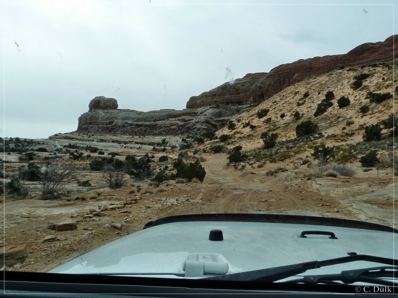
We passed Courthouse Rock. The trail itself doesn´t have any big obstacle at this point.
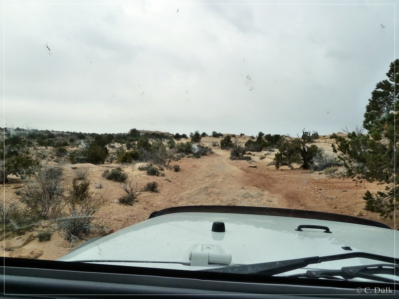
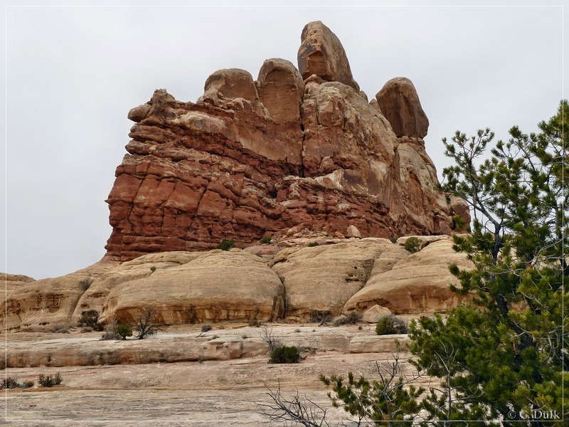
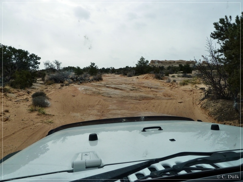
Because of the weather we did not go to Uranium Arch this time. Instead we went on a sandy trail towards Monitor und Merrimac Butte:
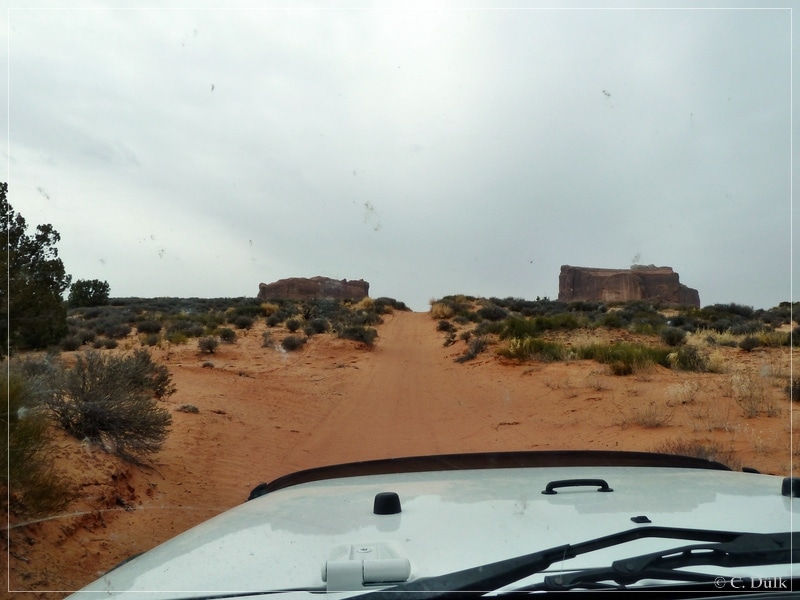
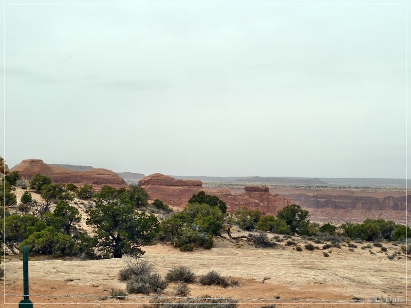
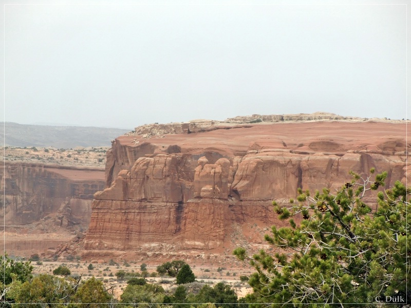
Here a view back on the sandy trail:
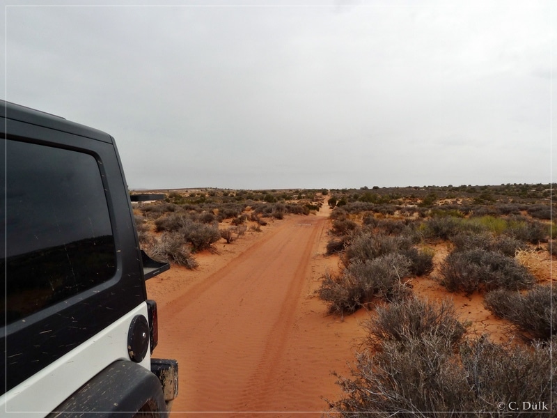
We continued towards the ‘Buttes’. The vicinity is also pretty nice.
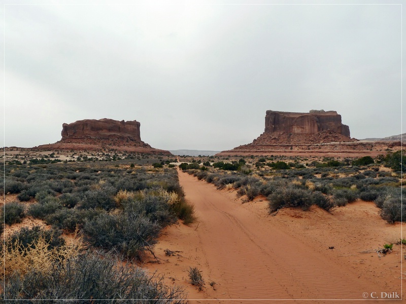
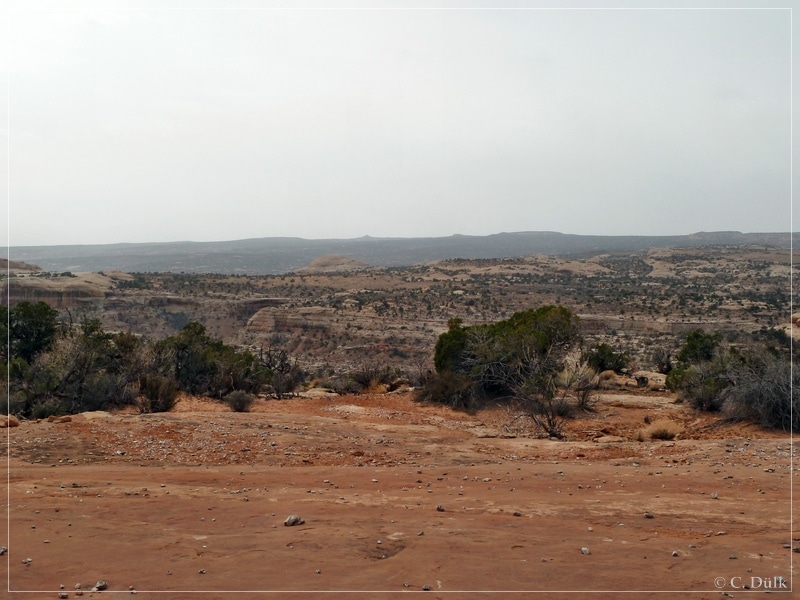
Soon we were between Monitor und Merrimac Butte.
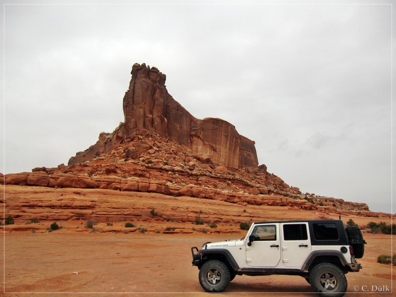
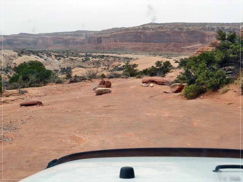
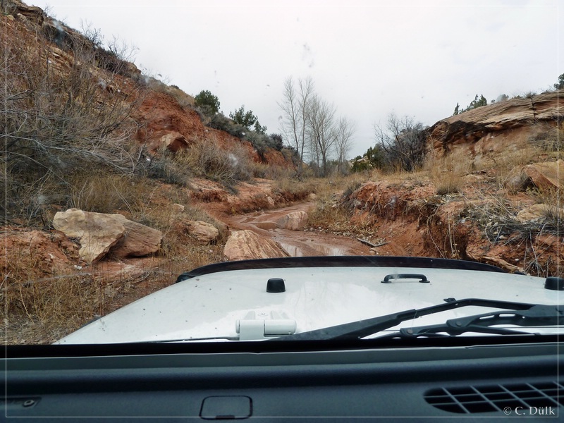
The following picture shows a trail portion, where your vehicle has to go through:
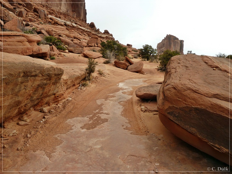
We continued on slickrock:
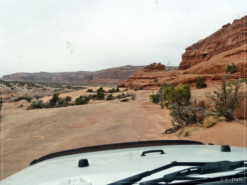
Here again a view back to where we came from:
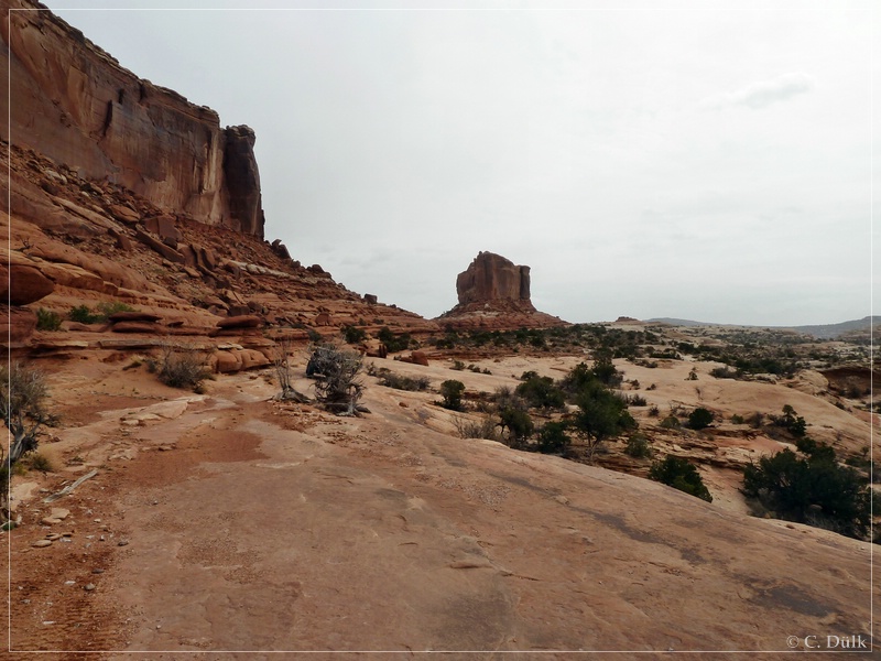
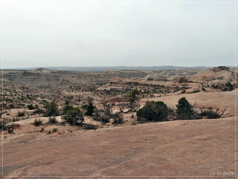
And here into the surrounding area:.
We got catched by a group of american offroaders…
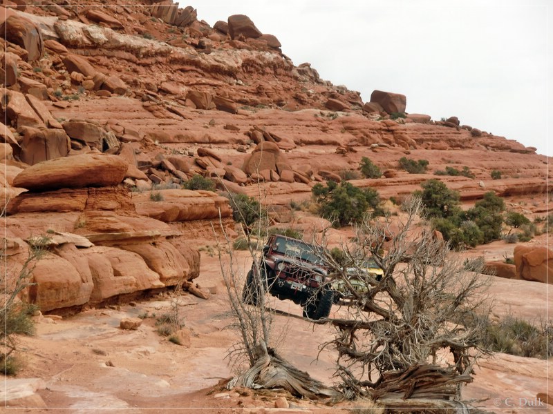
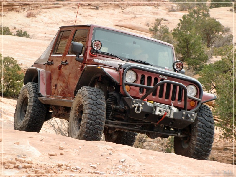
…and joined that group:
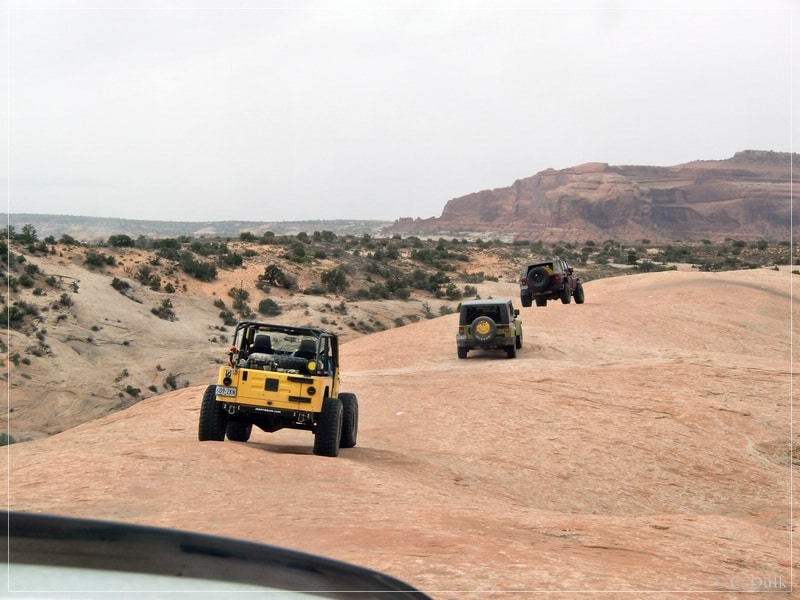
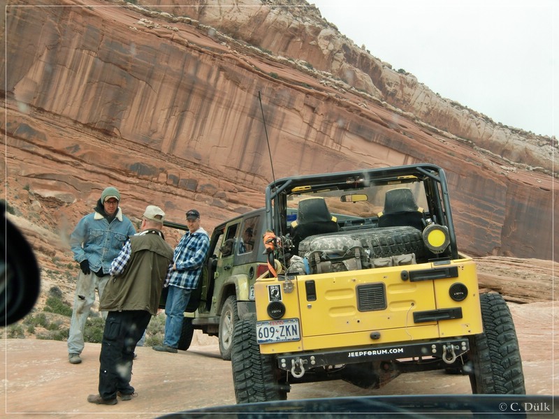
After short time we had a stop and used the time for a very nice conversation with the colleagues:
After the break we proceeded on the trail:
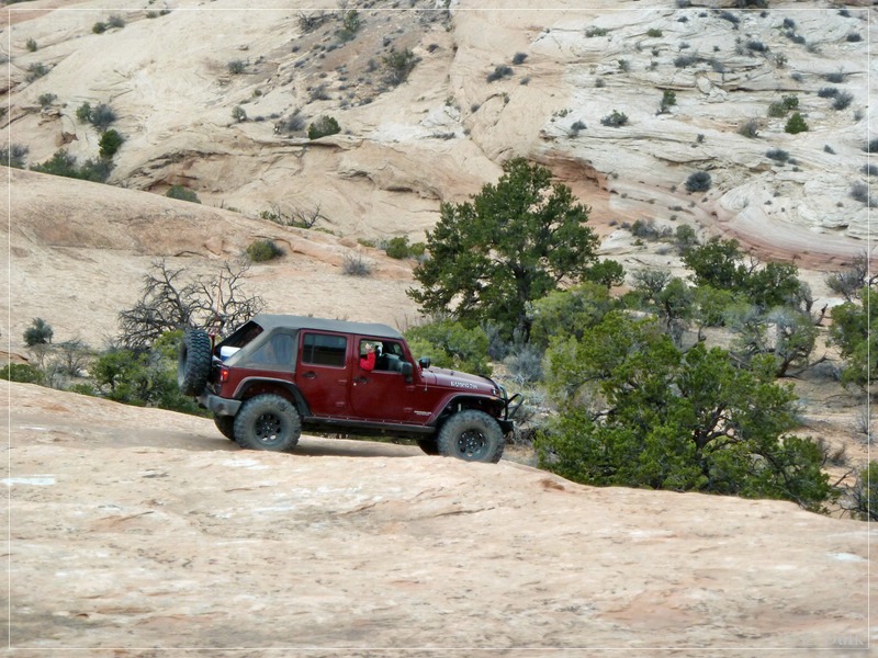
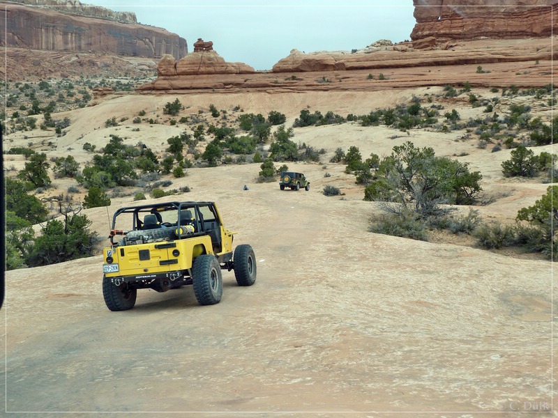
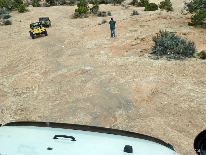
Soon we arrived a the famous steep wall::
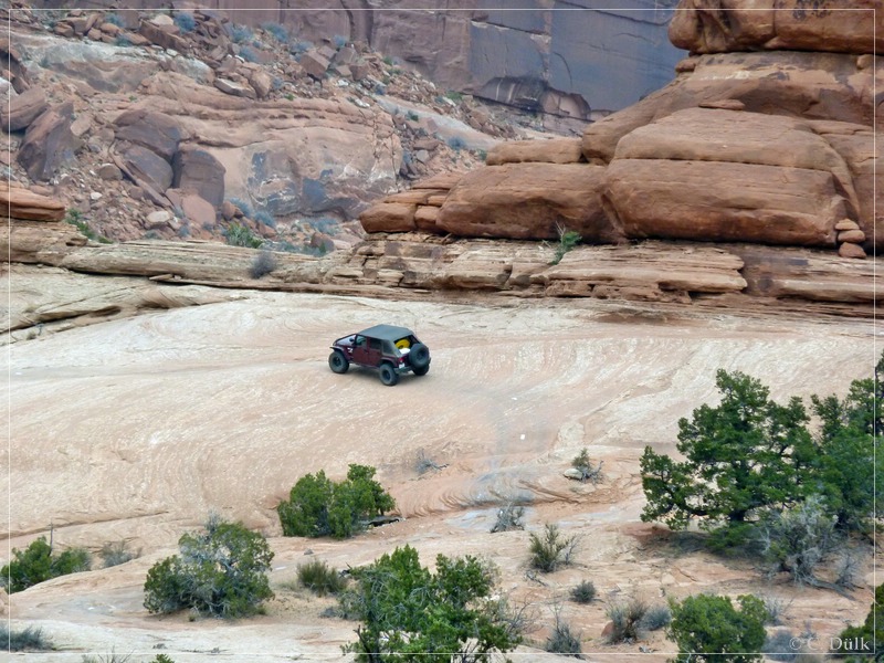
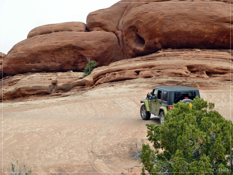
Everybody ‘jumped’ over the big ledge instead of using the bypass.
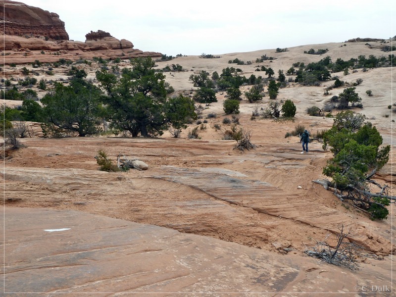
We all had a short stop at the wall section…
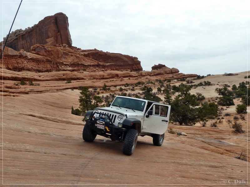
…before we went further:
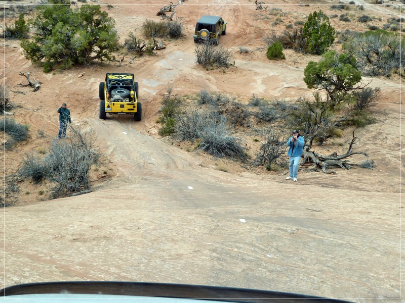
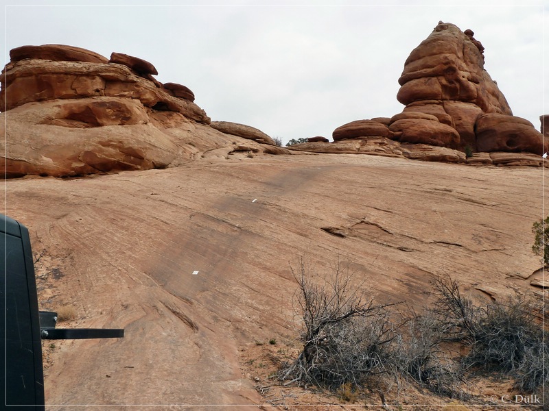
After this we left the group towards Mill Canyon Road as the colleagues wanted to play a little bit at Wipe Out Hill.
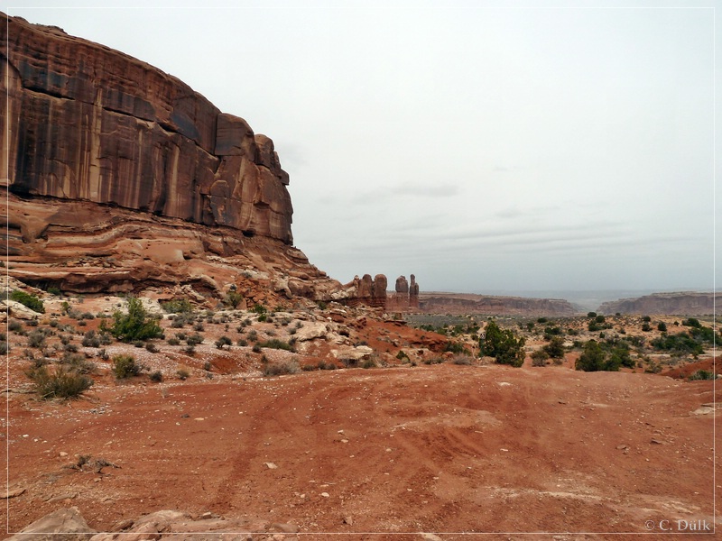
Again we enjoyed the vicinity:
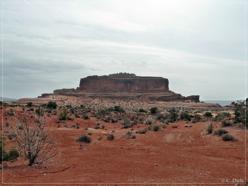
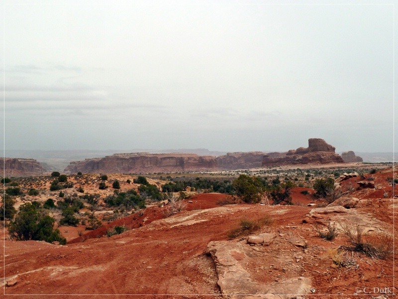
And here a few more pictures of the ongoing trail::
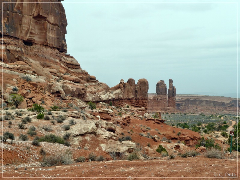
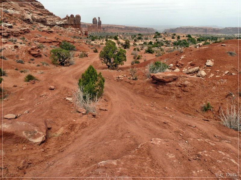
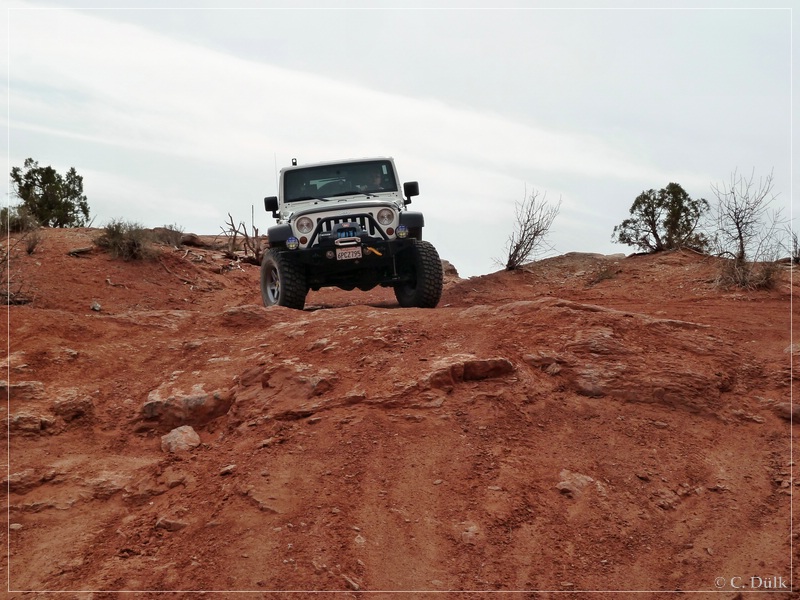
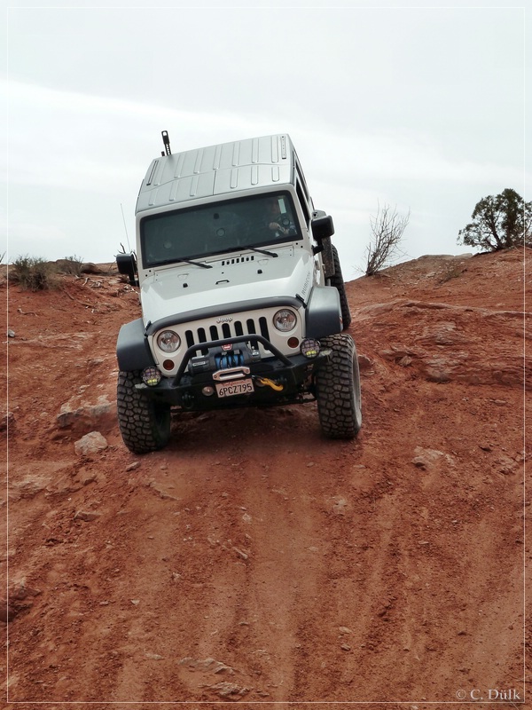
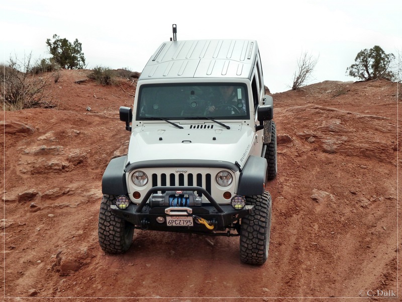
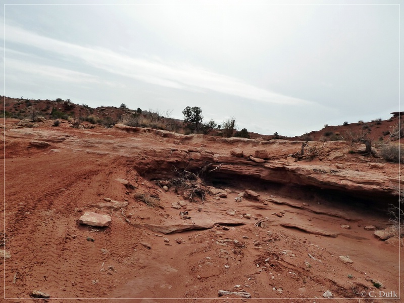
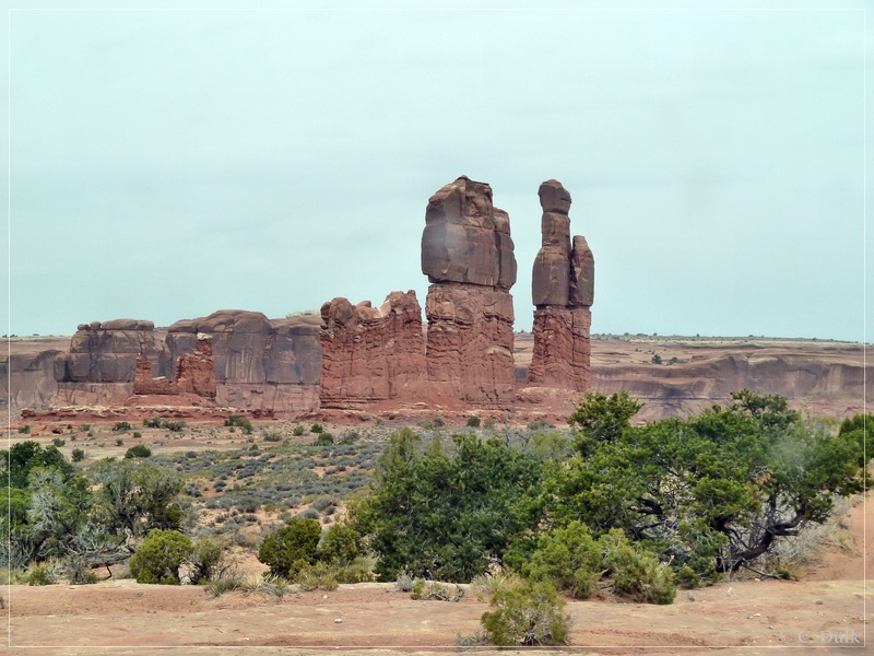
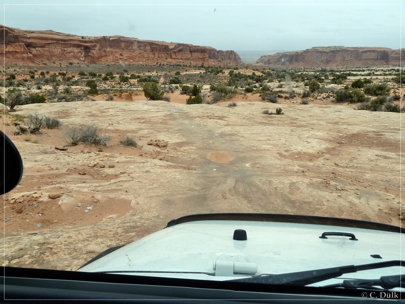
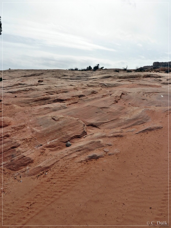
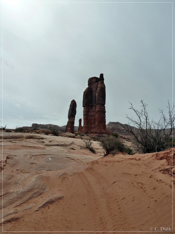
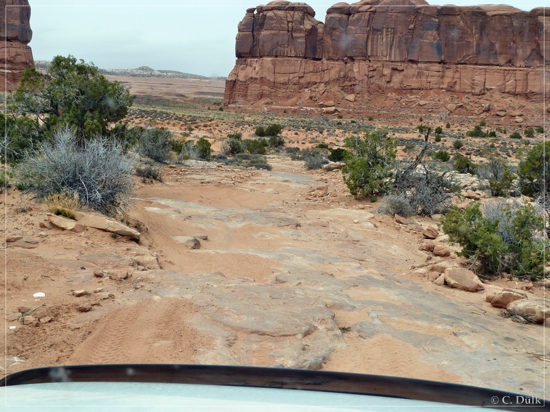
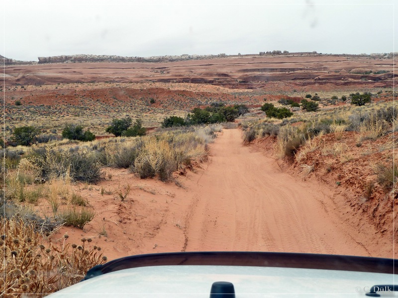
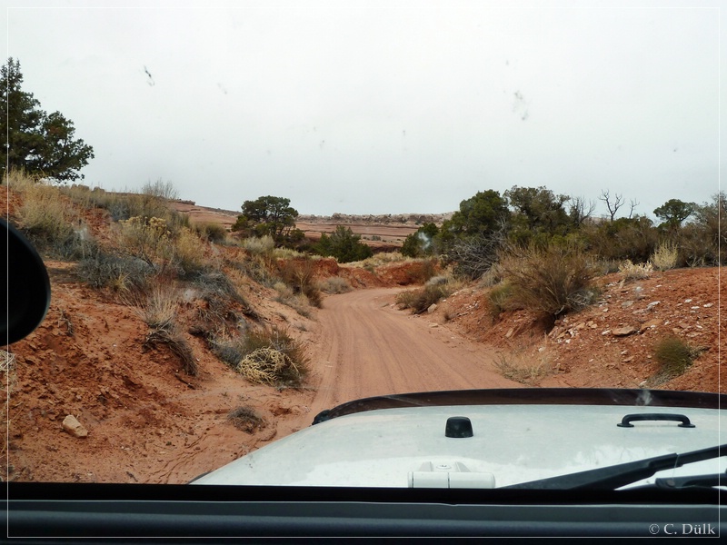
At the end we went through the narrow Tusher Canyon back to Mill Canyon Road, which we met at_12S 60777X 428628X.
Seven Mile Rim-Trail is rated in the Charles A. Wells trail book as difficult. One should have the right vehicle, which allows to go on trails like this. I personally would rate this trail as moderate and not as difficult, but everybody has to judge this himself based on his vehicle and his driving skills.
For a better orientation, one can downlload a gpx file of this trip:
Tracklog: Seven Mile Rim, Moab, UT (658 downloads)
And here is an overview of the area, we visited:
